Revolutionising footfall analysis and planning
Map data from OpenStreetMap
About
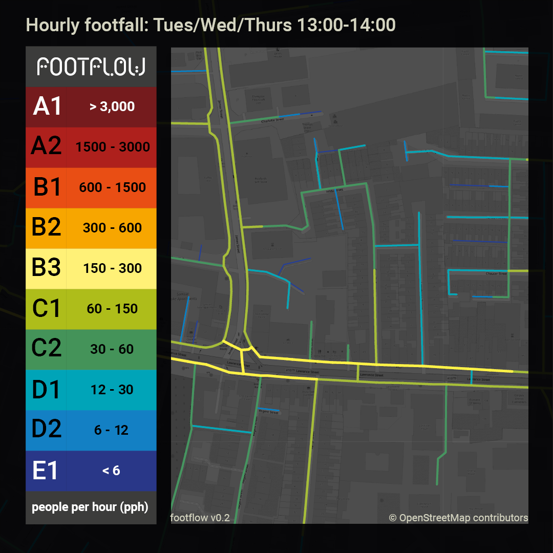
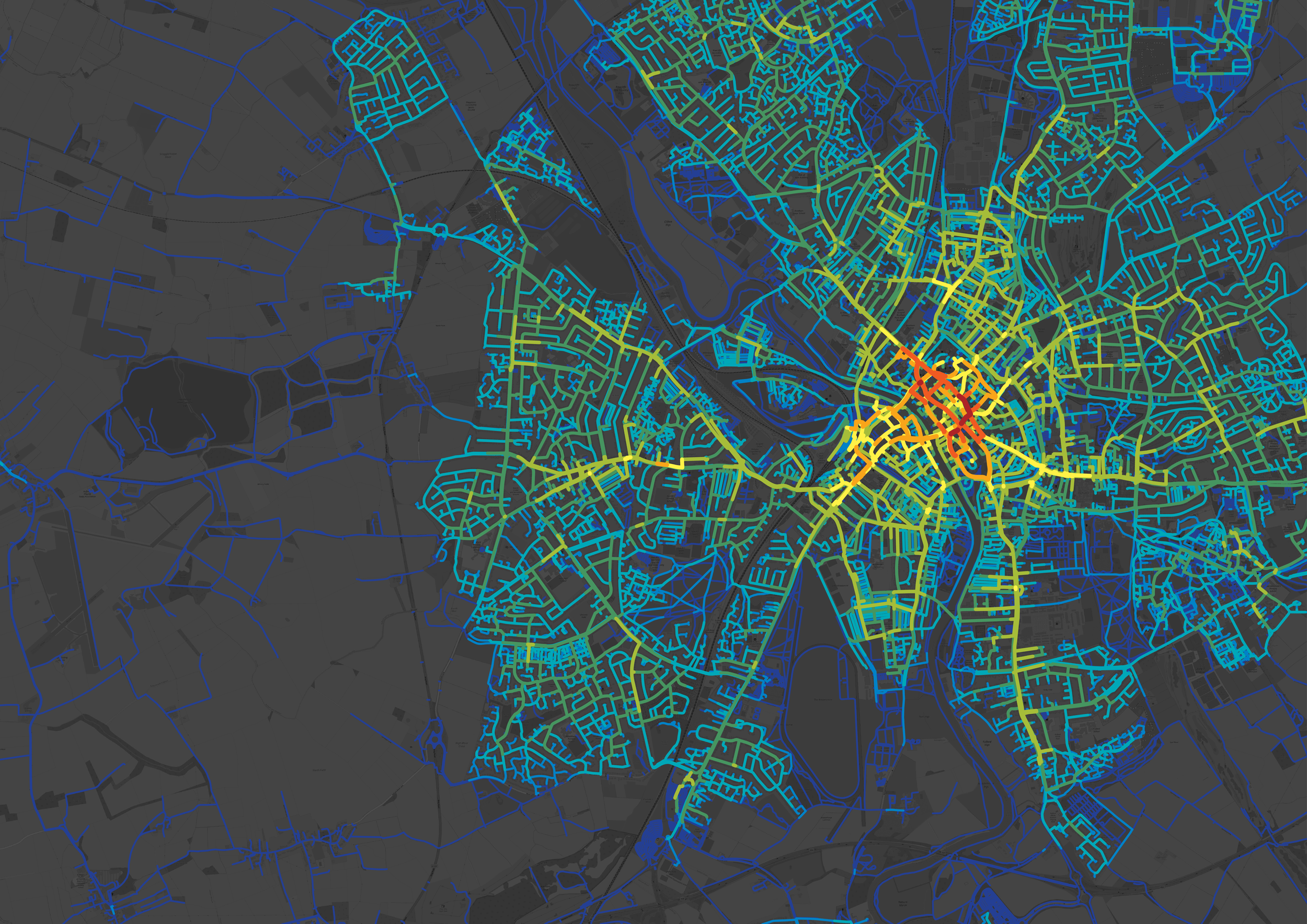
footflow™ is a tool for evidence-based footfall analysis and planning in the UK. footflow offers comprehensive benchmarking of pedestrian proximity metrics and estimated footfall at an unrivalled level of granularity and enables predictive forecasts of how building massing and land use impact pedestrian footfall.
We have entered the final test phase of the footflow tool in ten local authorities around the UK, including Barking & Dagenham, Bolton, Buckinghamshire, Charnwood, Cheshire West and Chester, City of London, Ealing, Eastleigh, Hackney, and York. We are gearing up to launch footflow later this year.
Meet the team

footflow was developed by the Oval Partnership, Wedderburn Transport Planning and Loughborough University.
footflow is the product of a Knowledge Transfer Partnership (KTP) between the Oval Partnership and Loughborough University jointly funded by UKRI through Innovate UK. KTPs aim to help businesses improve their competitiveness and productivity through the better use of knowledge, technology, and skills within the UK knowledge base.


-

Martin Wedderburn
Founding Director
-

Sara Nalaskowska
Senior Geospatial Data Scientist
-

Jack Starkey
Software Developer
Recent updates